Dublin Core
Title
British Trench Map, "Wytschaete," and Aerial Reconnaissance Photographs
Subject
Trench Maps; Aerial Reconnaissance Photographs
Description
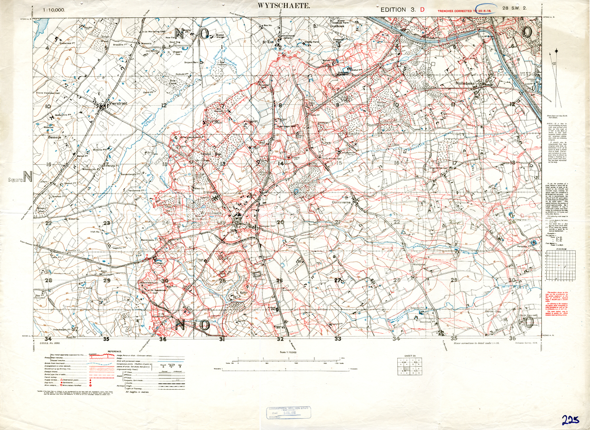
British trench map of the area surrounding Wytschaete, Belgium. Edition 3.D, with trenches corrected to 22 June 1916. Detail of Sheet 28 S.W. 2. Scale: 1:10,000
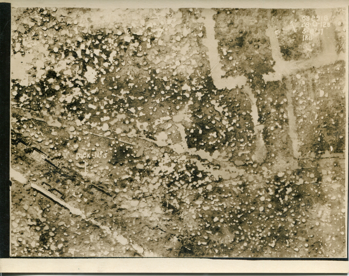
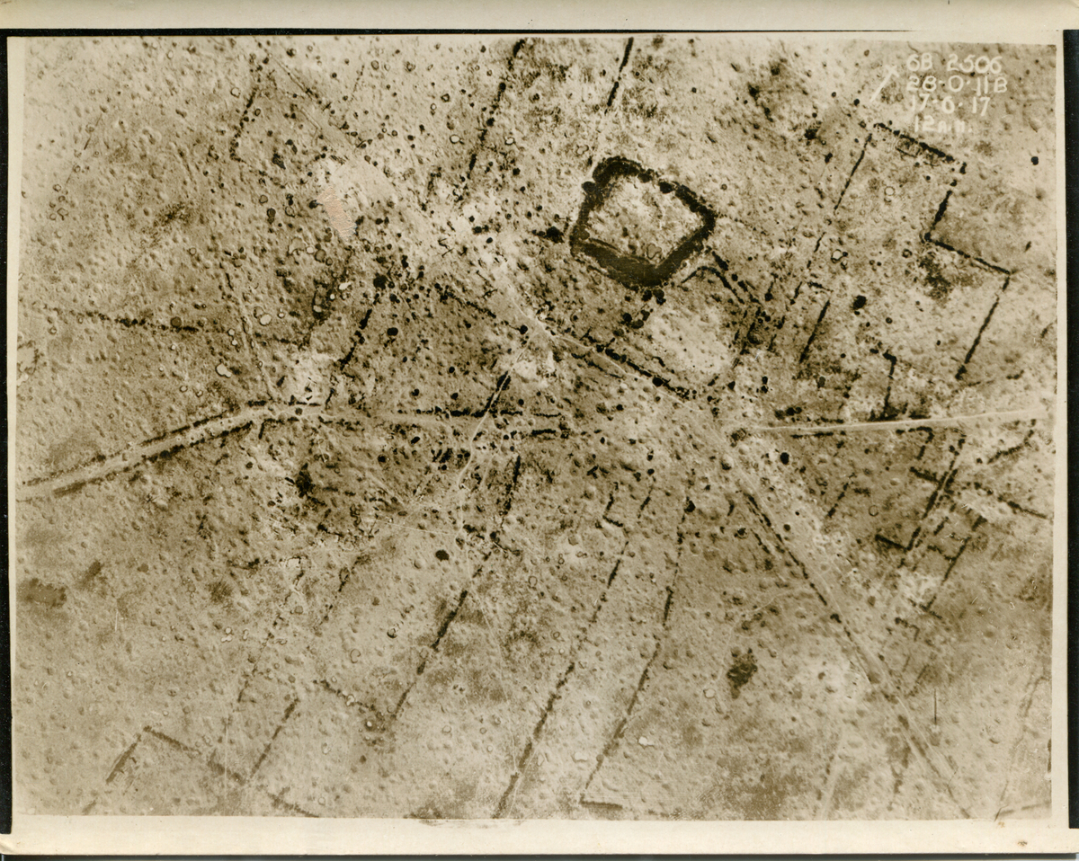
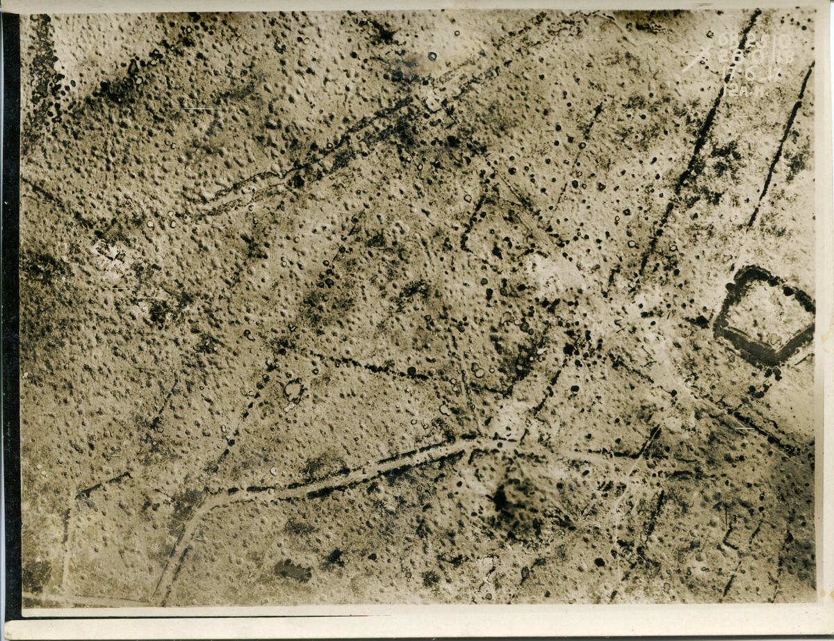
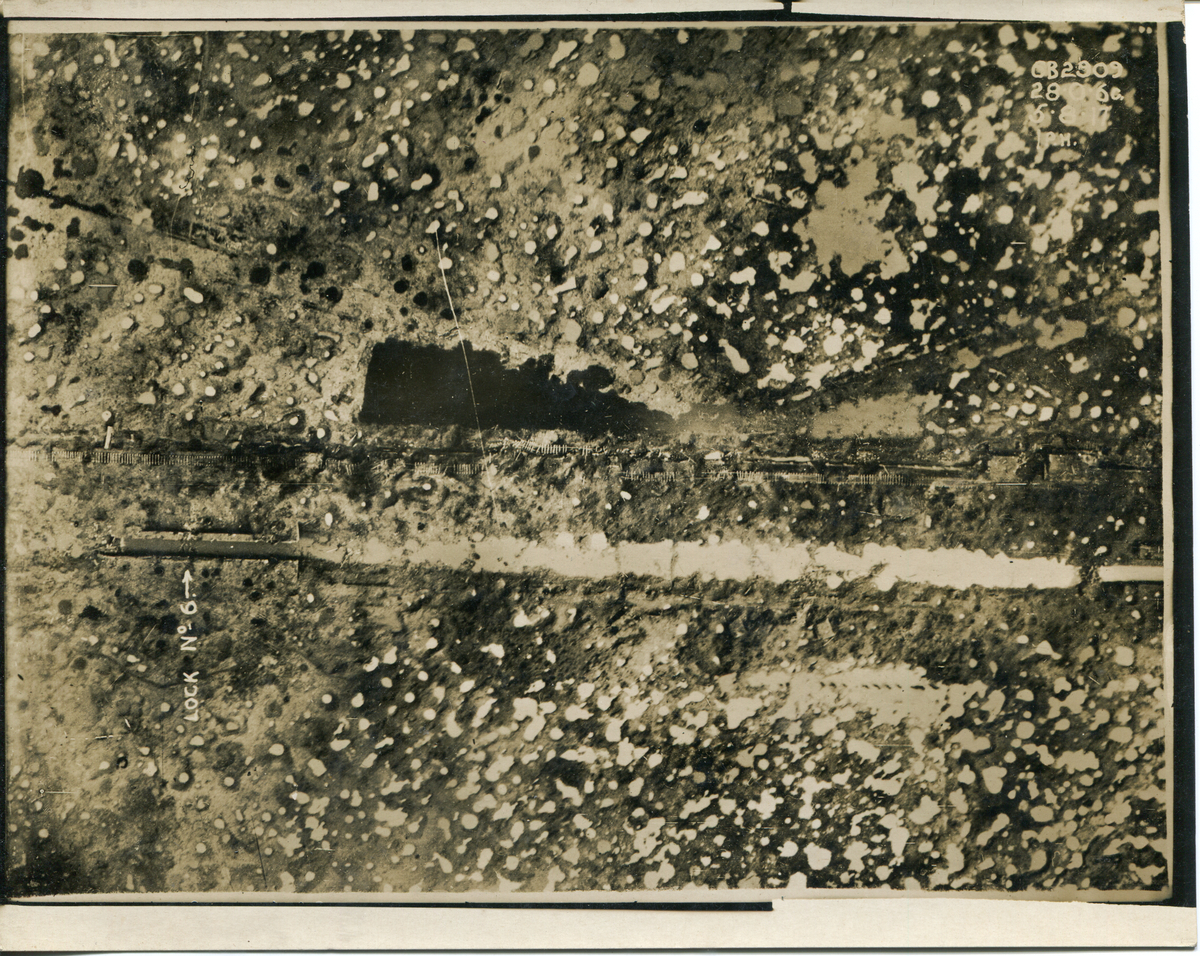
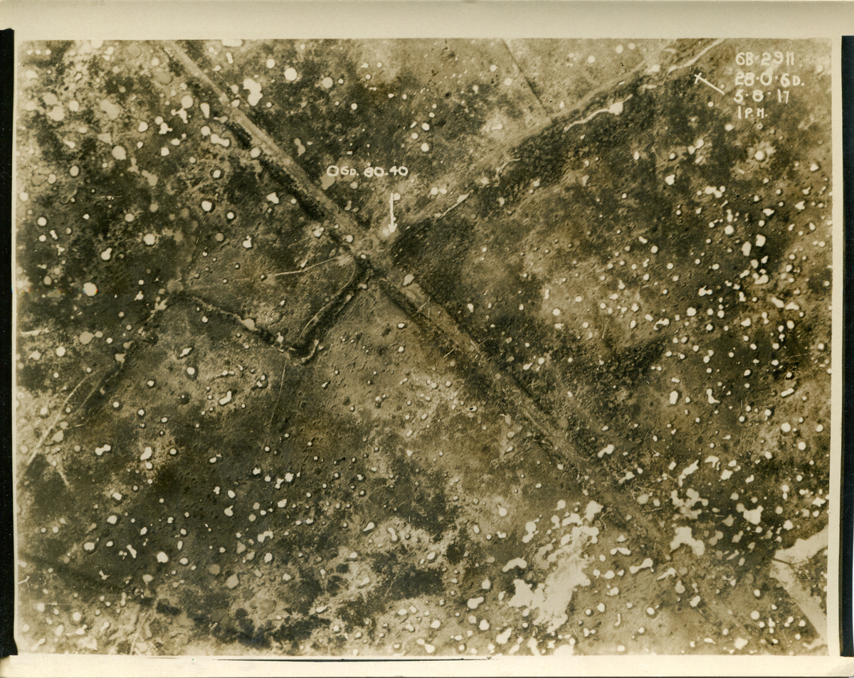
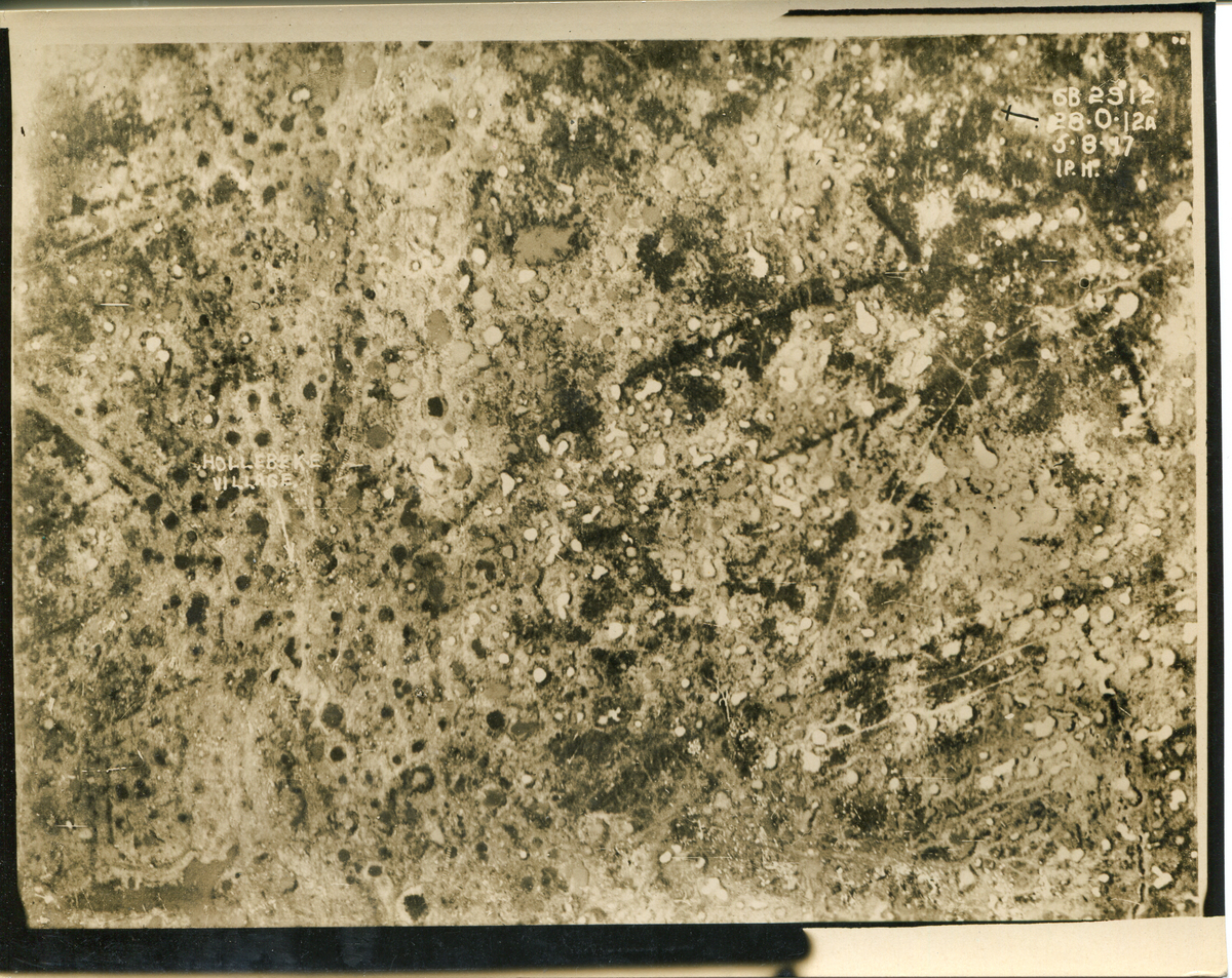
Aerial Reconnaissance Photographs of portions of Sheet 28 S.W. 2 taken during the battles of Messines and Third Ypres, June-August 1917
Aerial Reconnaissance Photographs of portions of Sheet 28 S.W. 2 taken during the battles of Messines and Third Ypres, June-August 1917
Creator
British Ordinance Survey [trench map]
Royal Flying Corps [photographs]
Royal Flying Corps [photographs]
Source
McFarlin Library, Department of Special Collections and University Archives, University of Tulsa. 2933 E. 6th St. Tulsa, Oklahoma 74104-3123
Publisher
Geographical Section of the General Staff and Army Printing and Stationary Services, No. 2 Advanced Section
Date
22 June 1916 [trench map]
5 June - 9 August 1917 [photographs]
5 June - 9 August 1917 [photographs]
Rights
This material may be under copyright. This item is physically owned by The University of Tulsa, McFarlin Library, Department of Special Collections and permission to publish, quote or reproduce must be secured from the repository.
Relation
Is part of the World War I Collection, Coll. No. 1992-004-4
Format
Map; Photographs
Type
Still Images
Identifier
1500.027.49 [trench map]
1000.128.1 [photographs]
1000.128.1 [photographs]
Coverage
Belgium
